❄️ Lapland Winter 2026/27 Outlook: Early Snow, Strong Polar Air, and Exceptional Aurora Conditions
Winter is shaping up early in Rovaniemi and across Lapland — and the signals we’re tracking this year are unusually strong. Atmospheric patterns, ocean temperatures, and local climate indicators all point toward a faster, colder start to the Arctic season.
At Lapland X Tours, we monitor long‑range climate models from Europe and North America, compare them with historical analogues, and track local temperature baselines to understand what kind of winter our guests can expect. Here’s what the data is showing.
🌡️ Local Climate Signal: The 5 °C August Drop
One of the clearest early indicators is right here in Rovaniemi.
Past two summers: unusually warm, with repeated heatwaves.
Summer 2026: no heatwaves at all — instead, temperatures plunged to 5 °C in early August, skipping the typical late‑summer warmth.
This matters because ground temperature controls how quickly snow can settle. With the soil already cold, early-season snowfall is far more likely to stick and form a stable winter base.
🌬️ Global Drivers: Super El Niño Meets a Weak Polar Vortex
International climate agencies confirm the development of a historic Super El Niño. Normally, El Niño brings milder air to parts of Europe — but this year’s event is interacting with record‑low Arctic sea ice, creating a very different setup.
Long‑range models show a high probability of a weakened Polar Vortex, which allows dense Arctic air to spill southward into Northern Europe. Because Lapland is already cooling rapidly, these incoming air masses can lock in winter conditions much earlier than usual.
🔄 Historical Analogue: Winter 2009/2010
We’ve seen this pattern before.
During the winter of 2009/2010, a strong El Niño combined with a fractured Polar Vortex, producing:
record-breaking cold
early snow
persistent sub-zero temperatures across Northern Europe
The early signals in 2026 mirror those same atmospheric phases.
❄️ What This Means for Travelers
Earlier Snow Cover
Permanent snow in Rovaniemi typically arrives mid‑November.
This year, indicators suggest late October to early November is more likely.
Better Conditions for Winter Activities
Early ground freezing creates a strong base layer for:
Husky safaris
Reindeer Sleighs
Snowmobile Tours
Wilderness Trekking
These conditions may stabilize before the December holiday rush.
Exceptional Northern Lights Potential
High‑pressure Arctic air tends to clear moisture from the atmosphere.
This means:
More cloudless nights
Colder, crisp air
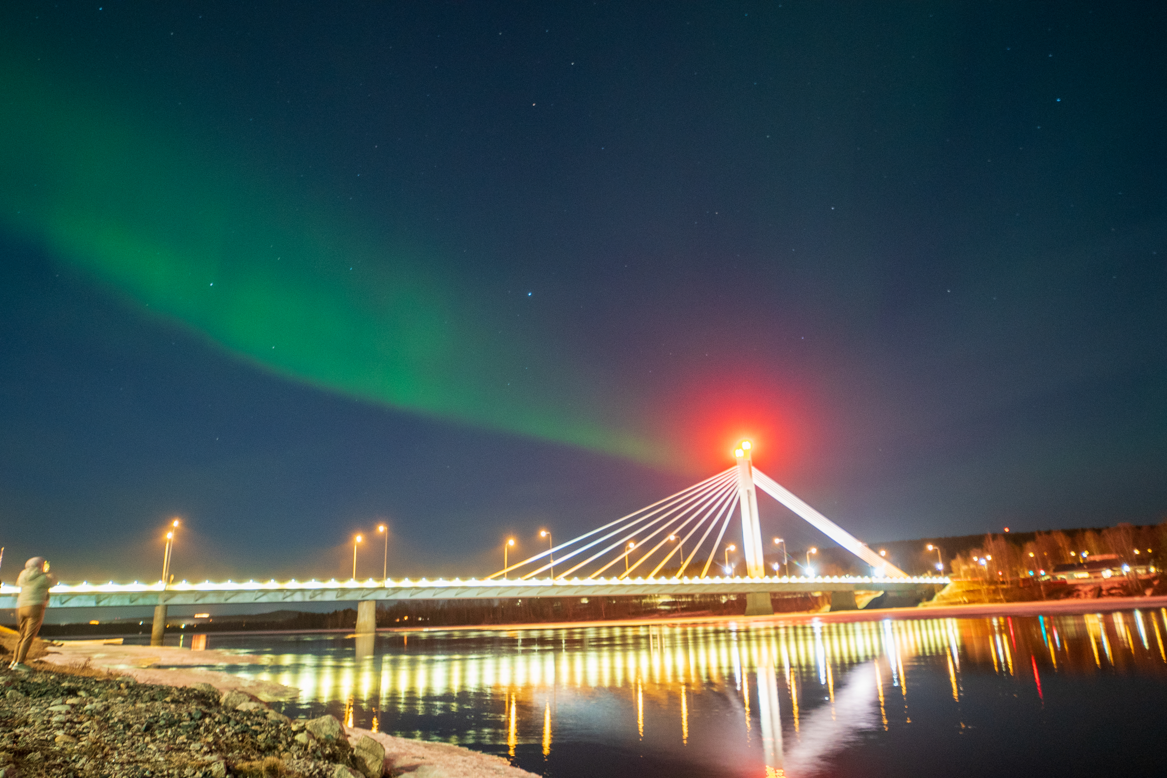
Ideal Aurora Borealis conditions
If the Polar Vortex weakens as models suggest, this means great conditions for most of winter tours you can book.